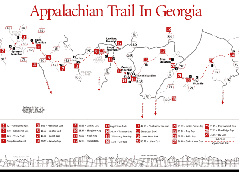
Backpacking on the Appalachian Trail in Georgia
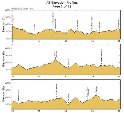
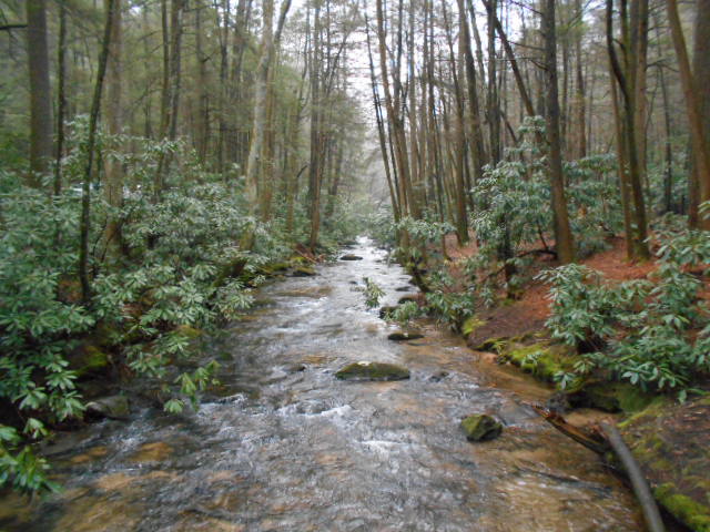
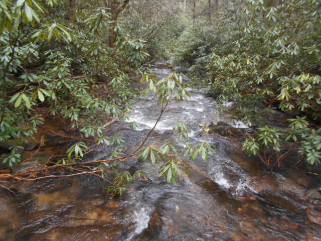
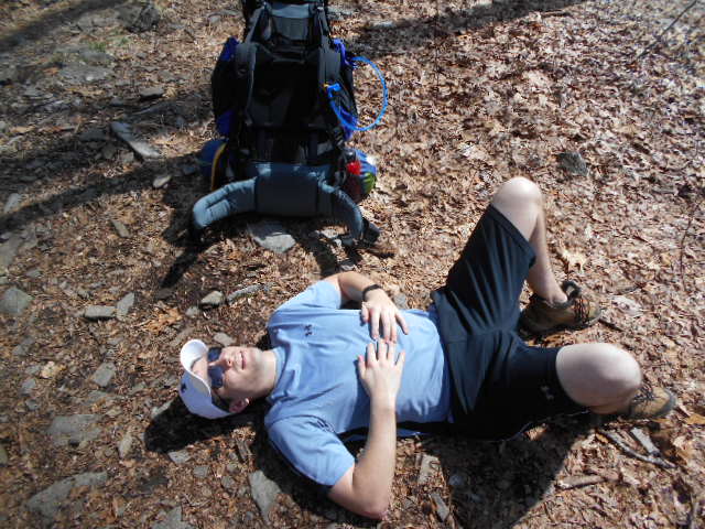
After meeting at the AT parking area on Hwy 76, 16 miles west of Clayton, Don, Mike and I stayed dry during intermittent rain showers through the night by sleeping in our vehicles rather than setting up camp. From there we drove to the Springer Mountain TH parking lot early on Good Friday to meet up with Matt before embarking on our Easter sojourn. (Directions: From GA Hwy 52 in Cartecay :: 12.1 miles west of Amicalola Falls State Park or 6.1 miles east of Hwy 76 in Ellijay :: drive north on paved Roy Road by the Chevron station and go 9.7 miles to the end of the road. Turn right at the stop sign on paved Doublehead Gap Road and go 2.2 miles before turning right onto gravel USFS Road #42 to go 6.8 miles to the Springer Mountain parking area on the north side of road.) Don, Mike, and Matt climbed up to the summit of Springer Mountain while I readied my gear. Soon after 0800 we were all on the trail under packs headed north under partly cloudy skies with mild temperatures in the fifties. The initial trail slopes downward into the first watershed for Stover Creek, giving us all a few miles to get accustomed to the weight of our packs before we had to climb. The first four miles were comfortable as we began to pass some thru- hikers and also some folks just out for the weekend like us. The skies opened up and the day was turning out to be perfect for hiking. The first day of backpacking always tests your fitness and mettle. The Appalachian Trail is wide and not very rocky in Georgia, but you soon learn whether or not your feet are too tender and whether your back is strong enough to see you through. The rolling hills, nonetheless, reminded everyone that backpacking is pure and simple hard work with pleasure to be derived from the suffering as well as the scenery and the cameraderie. Reaching good water at Justus Creek we hiked a bit further before stopping early for the day, just shy of fifteen miles in a pleasant glade along a trickling brook.
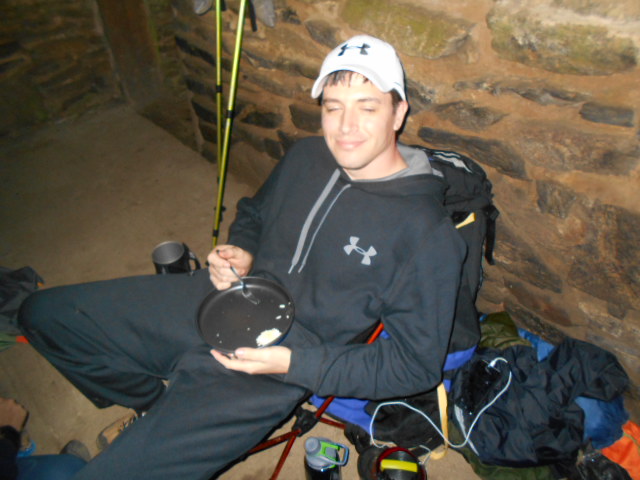
Everyone was glad to unload, set up a tent, and cook up a much-anticipated dinner. Matt was trying out a lot of new gear and finally got to use his JetBoil while parked in his high-tech $80 REI collapsible camp chair. Mike was discovering the benefits of his daughter Mindy's ultralight camping gear while I was mending feet that were adjusting to my new Vaude hiking shoes. Mike tested his bear spray in camp without checking for wind direction, and so chased all of us out of camp coughing. The damn stuff works. Nasty. But no sign of any bears during the hike.
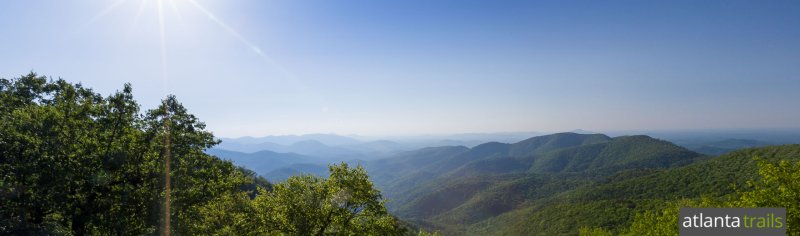
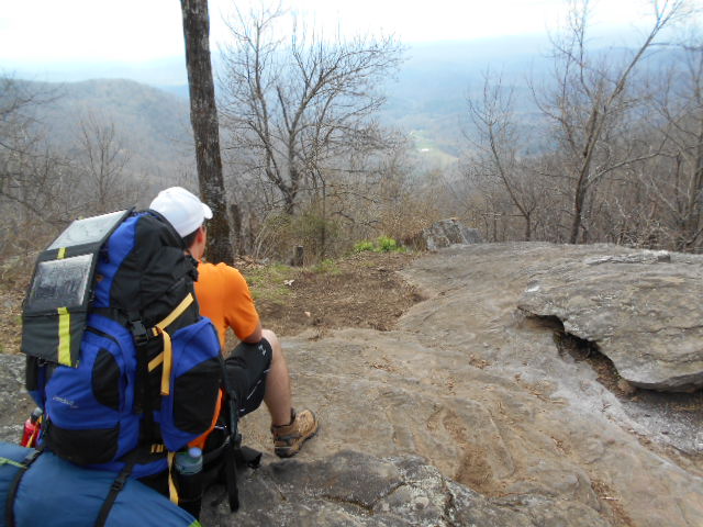
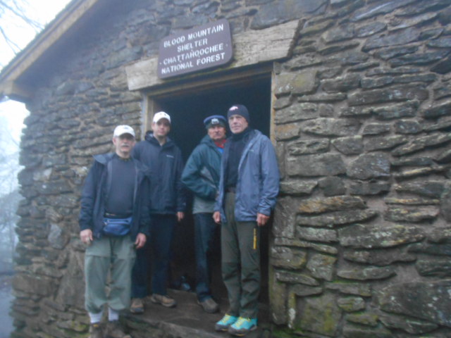
With renewed energy and fresh legs after a good night's sleep under a full moon we headed out under cloudy skies for day two of our adventure. The climbs were longer and more challenging from this point, with the first major climb of Blood Mountain at the end of the day. I felt great; Don and Mike were finiding their strength; but Matthew was struggling from being physically unprepared. I used Blood Mountain as a training exercise and really ground my way to the top at 4450 feet under good strength. Mike followed about an hour later with Don and Matt a ways behind. Matt was finished for the day. The clouds had already unloaded with a downpour and the temps were much colder on top of the mountain in the clouds. A decision was quickly made to stop and camp at the Blood Mountain Shelter.
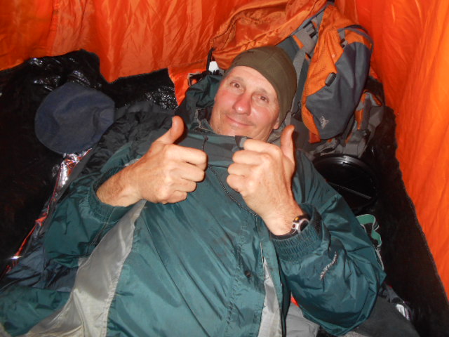
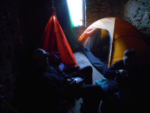
Day hikers came and went with the news that the next day's forecast was for thunder and lightning storms and a 90% chance of rain into the following day. Not what you want to hear when you are on top of a mountain with plans to hike the ridges the next day. With this forecast in mind we decided to bail the next day by having Matt's girlfriend help us retrieve Don's truck so that we could bring the adventure to a close. With this decision being made we all settled into our mountain retreat, setting up tents inside the Blood Mountain Shelter, cooking up dinner, and after a couple shots of whiskey, yielding to the security of the moment. The weather outside could do whatever it wanted. We were safe, warm, and dry and able to relax.
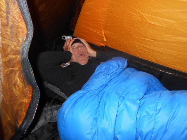
We had the entire two-room stone shelter to ourselves except for another local guy named Chris, who also set up his tent inside. Never in all my long years had I ever camped inside a structure like this inside a tent. It was weird, but cozy. Some of us slept while some of us shone a flashlight on the resident woods rat that checked out everything and peed on our tents, but didn't hurt or eat anything. I was one of those who slept well. To hell with rats and bears and such.
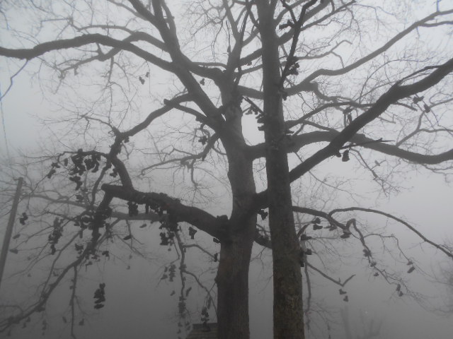
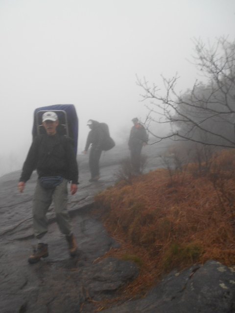
After a night with little rain and no thunder we arose to fogged-in conditions, but only light rain. Following through with our bug-out plan, we hiked the remaining rainy mile-and-a-half down to Neel Gap over wet slabs and a muddy trail to await our rescue angel. Neel Gap at mile 30 of the AT is where ambitious thru-hikers unload excess weight when they realize by at least day two that they are carrying too much weight. Hundreds of pairs of boots and shoes get dumped or tossed into the trees here. People unload extra clothing and food and either give it away freely or ship it back home. It is fascinating how much of an education hikers gain in just thirty miles. Mike and I hung out here before Don and Matt returned to retrieve us and the gear. Before our heads would hit the pillow again, we would all be safe at home and showered. It was, all in all, a fun time with some of my best buddies. Two days on the trail in the rain will always be better than time spent doing most anything else.
|
S=Shelter - C=Camping - W=Water 0.0
Springer Mt. 3782’
|
 2016 March 25-27
 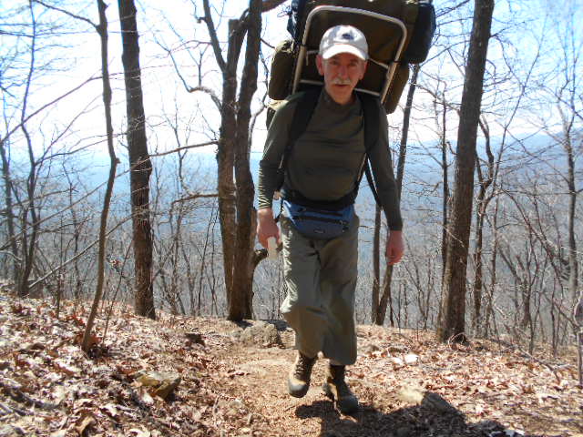 ........
 ........
 ........
 ........
 ........