March 29 - April 2, 2017 - Appalachian Trail Backpacking
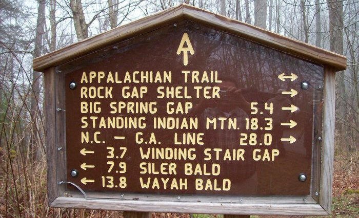
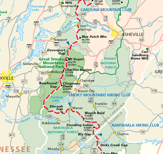
Winding Stair Gap, NC to Unicoi Gap, GA
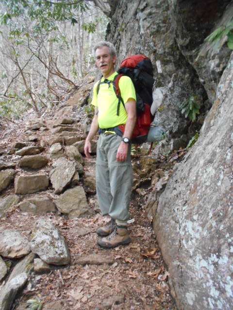
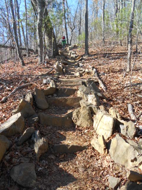
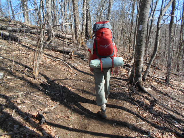
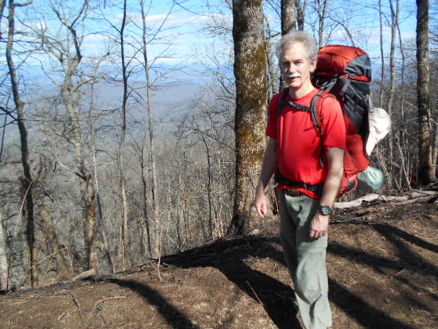
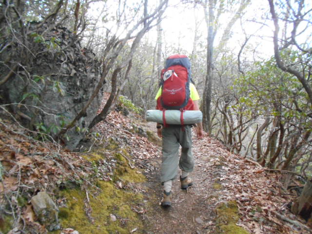
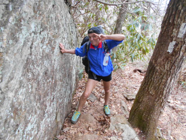
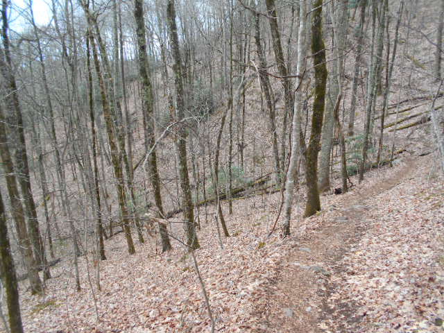
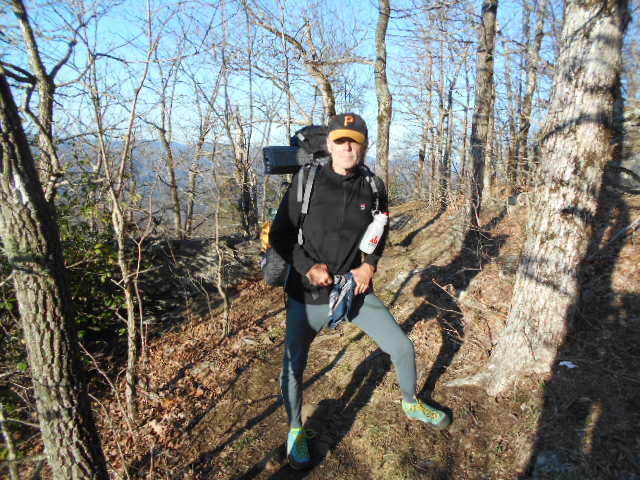
From the Highway 64 road crossing at Winding Stair Gap, 11 miles west of Franklin, NC, brother Don and I set out southbound on the Appalachian Trail for our annual spring foray in the southern mountains. Temps were 77 degrees with a nice southern breeze as we quickly dispatched the first three miles up and over to Wallace Gap. The hiking seemed easy with light packs and fresh legs as we covered perhaps 7 miles before stopping after three hours to set up the first night's camp.
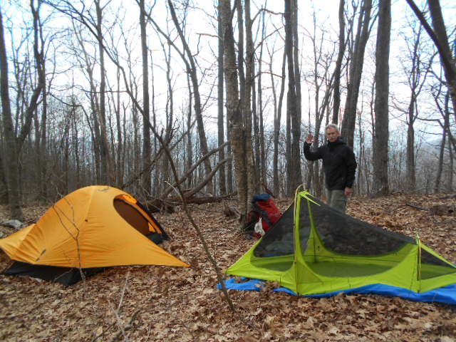
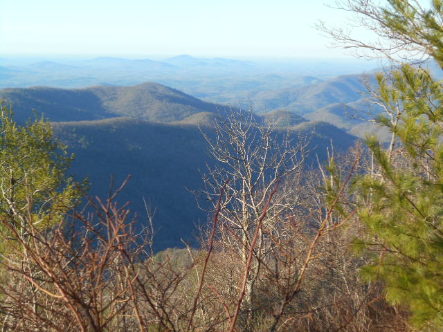
We found a nice level leafy area with a beautiful view of the sun setting as we set up off trail for a good night of rest before our first full day of hiking.
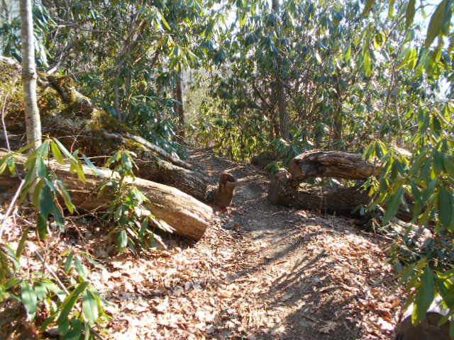
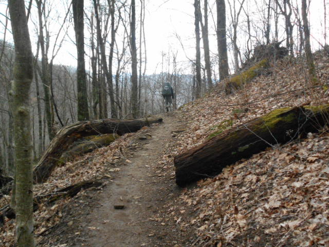
On Thursday we would cover about 18 miles through a lot of rhododendron tunnels, up and down major climbs, with the highlight of the day coming later in the afternoon when we hiked up and over Standing Indian Mountain at nearly 5500' the highest point of our journey. Before ending our day we encountered some folks feeding hikers at Deep Gap, what they call "trail magic". We didn't linger, however, as we were anxious to make tracks to our resting place for the day with the forecast of a nasty thunderstorm headed in our direction.
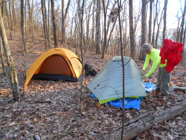
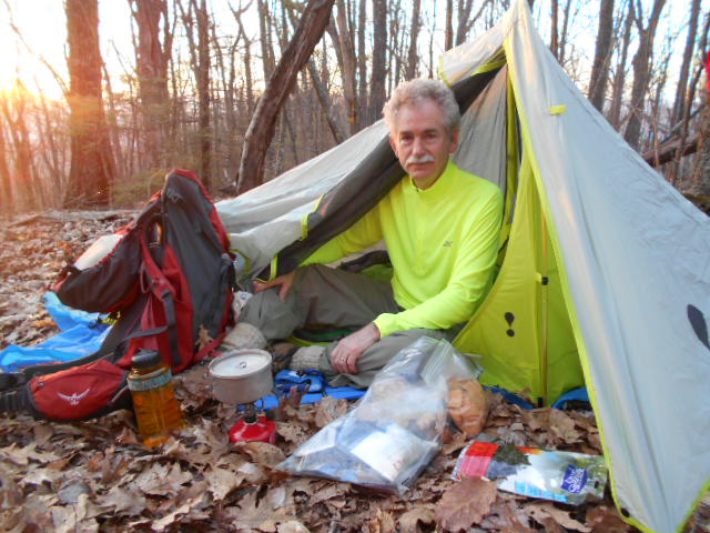
As the weather showed definite signs of change, we found a safe spot to set up our tents away from overhanging "widow-makers" and off the lightning- prone ridges. As temps dropped we were fortunate to make camp, eat, and get settled before the storm hit after dark, with a lot of heavy rain and wind to accompany the rumbling light show.
Our
timing could not have been better. The only rain we experienced
on the trip occurred while we were tucked comfortably in our sleeping
bags. By the time we set off again the next morning there was nothing
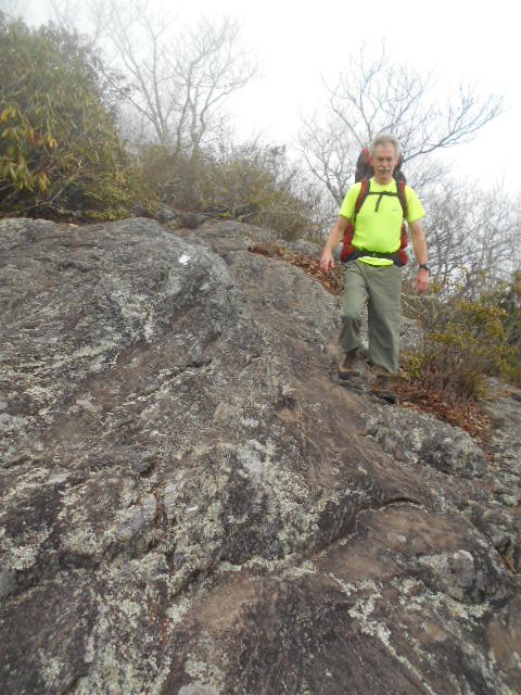
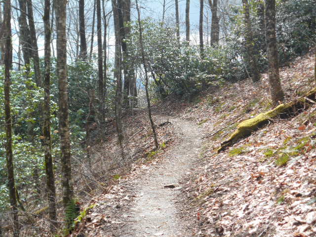
left but a wet trail and lingering low hanging clouds. Much of Friday
would be overcast with occluded views at vistas, but it was still
beautiful to be hiking through the mist.
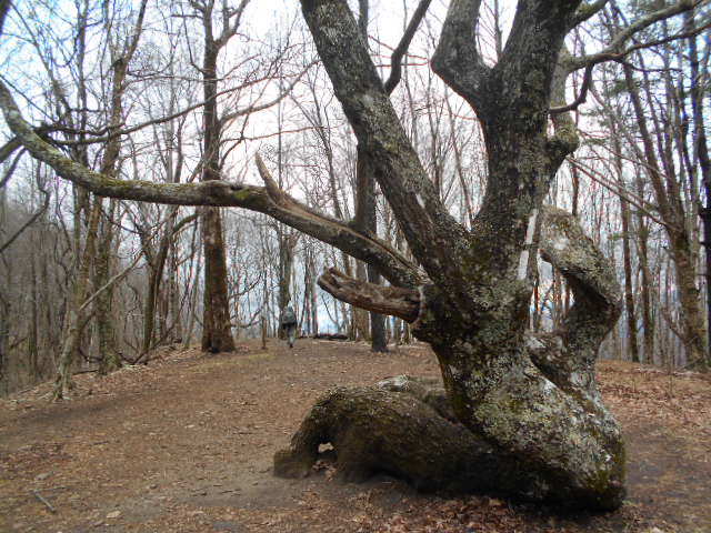
Much of the North Carolina section had experienced last year's fires. Blackened stumps and logs and burned topsoil predominated the scenery, but the woods was not destroyed. Since it was largely a ground fire, nearly all of the trees survived. The contorted shape of many of them captured my imagination often.
We must have passed two hundred and fifty to three hundred northbound hikers - mostly "thru hikers" with noble ambitions of hiking the entire length of the Appalachian Trail. Many suggested that we were going in the wrong direction. There were many tall, lean young guys with color in their beards and dreams in their eyes; then there were the young girls - a surprising number were hiking alone, and perhaps even more distinctive was the observation that, by and large, they were chunky to fat. One got the feeling that many of them were looking for adventure of the romantic kind. I would guess that the ambitions and dreams of men and women on the trail were often not the same. There were also quite a few grey-haired guys like us, many probably following a lifelong dream after a lifetime of employment, trying to hold onto youth for as long as they can.
After hiking about 15 miles on Friday we crossed the highway at Dick's Creek Gap before finding a camp site half way up the next climb. Hanging up any wet gear to dry in the waning sunlight, we slept good. Don chased off a curious raccoon, but other than that no critters bothered us.
We
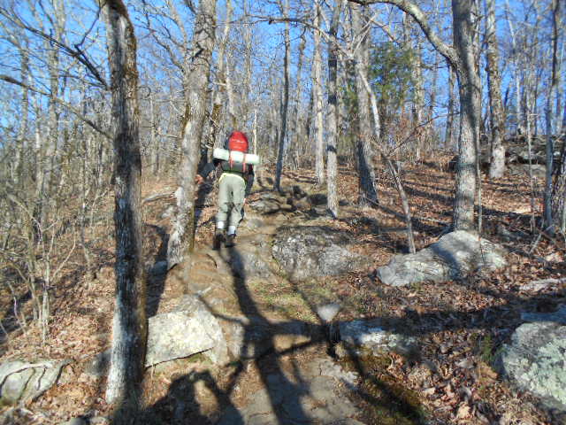
logged another 15 miles on Saturday with the climax of another perfect
day being hiking over the summit of Tray Mountain, Georgia's second
highest peak at 4430'. We called my son Matthew and asked if he
would deliver us some crab legs. After fifty miles of hiking we
both had developed a serious appetite. Fortunately there was some
more trail magic a half mile further, courtesy of a local Boy Scout
Troop, and Don and I took an hour break for some burgers and socializing
with the scouts and thru hikers there.
With full bellies we hiked a few more miles before finding another camp site with a view of the setting sun to enjoy our last night on the trail. After the thermals died down the mountains were absolutely quiet. I cannot recall ever experiencing such silence in wilderness. Whenever I woke up during the night I could not fall back asleep because I was straining to hear any sound in the deafening silence. At about 2030 both Don and I thought we heard a bigfoot whoop in the distance. I wasn't real sure about it, but Don heard two knocks immediately after, indicating it may very well have been what we thought it was.
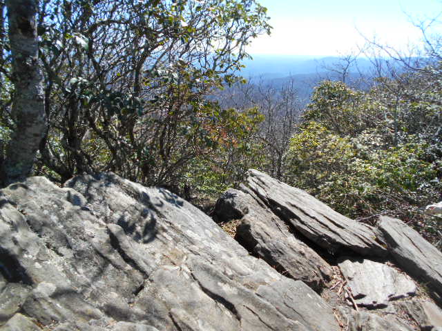
On our final morning we had only two miles to hike over 4000' Rocky Mount before descending to Unicoi Gap at 2900' where we would be picked up by Ann at the conclusion of our 57-mile hike. Weather, once again, was perfect, with blue skies horizon to horizon and views of the Blue Ridge that went on forever. Don and I had ourselves another very enjoyable, memorable adventure with this hike, with hopefully many more on our shared horizon.

50.9
Unicoi Gap, GA 75 2949’ None
51.5 stream 3300’ W
52.2 Rocky Mt. 4017’ C
53.5 Indian Grave Gap, USFS 283 3113’
54.2 Tray Mt. Road, USFS 79 3580’ None
54.5 Cheese Factory Site 3590’ C,W
55.3 Tray Gap, Tray Mt. Road 3847’ None
56.1 Tray Mt. 4430’ None
56.5 Tray Mt. Shelter (pic) 4200’ S,W
60.1 Swag of the Blue Ridge 3400’ None
61.3 Sassafras Gap 3500’ W
62.1 Addis Gap 3304’ C*,W*
63.1 Kelly Knob 4276’ None
64.0 Deep Gap Shelter (pic) 3550’ S,W
65.1 McClure Gap 3650’ C
65.3 Powell Mt. 3850’ None
66.3 Moreland Gap 3200’ None
66.9 stream 2650’ W
67.5 Dicks Creek Gap 2675’ W,H*
68.6 campsite 3150’ C,W
69.3 Cowart Gap 2900’ None
70.8 Bull Gap 3690’ None
72.0 Plumorchard Gap Shelter (pic) 3050’
72.7 As Knob 3460’ None
73.3 Blue Ridge Gap 3020’ None
74.3 campsite 3500’ C,W
74.5 Rich Cove Gap 3390’ None
76.4 GA-NC State Line 3825’ None
76.5 Bly Gap 3840’ C,W
76.8 Sharp Top 4340’ None
78.4 Sassafras Gap 4300’ None
79.3 Muskrat Creek Shelter (pic) 4600’
80.1 Whiteoak Stamp 4620’ None
80.3 Chunky Gal Trail 4700’ None
81.2 Wateroak Gap 4490’ None
83.3 Deep Gap, USFS 71, Kimsey Creek Trail 4341’
84.2 Standing Indian Shelter (pic) 4760’ S,W
85.7 Standing Indian Mt. 5498’ W
88.6 Beech Gap 4460’ C,W
91.4 Timber Ridge Trail 4700’ None
91.8 Carter Gap Shelter (pic) 4540’ S,W
95.5 Betty Creek Gap 4300’ C,W
96.4 Mooney Gap, USFS 83 4400’ None
96.6 spring 4500’ W
97.7 Bearpen Trail, USFS 67 4790’ None
98.0 Albert Mt. 5250’ None
98.6 Big Spring Shelter (pic) 4940’ S,W
101.4 Glassmine Gap 4160’ None
103.9 Rock Gap Shelter (pic) 3760’ S,W
104.0 Rock Gap, Standing Indian CG 3750’ C,Sh,G
104.6 Wallace Gap, Old US 64 3738’ None
107.7 Winding Stair Gap, US 64 3770’ W